Geoinformatics laboratory
INTRODUCTION TO THE LABORATORY
Our laboratory serves as the venue for practical sessions and projects in Geodesy and Geoinformatics, where our students gain proficiency in the use of surveying instruments and the processing of spatial data. Alongside teaching, we are involved in the collection and processing of spatial data required for departmental and faculty research, for which state-of-the-art instruments and equipment are available.
Contact
- Hegyi Pál
- 9026 Győr, Egyetem tér 1., L4 laborépület, L4/1.
- +36-96-503-400 mellék: 3119
- hegyi.pal@sze.hu
Services
1. Horizontal and vertical detailed surveying
2. Production of base maps for planning purposes
3. Drawing up implementation maps
4. Carrying out the assigned tasks
5. High-precision measurement of motion, displacements and deformations
6. GNSS-based positioning and field data collection
7. 3D laser scanning, point cloud generation and processing
8. Three-dimensional digital documentation of buildings, works of art and infrastructure elements
9. Processing and analysis of geodetic and geospatial data
10. Support for spatial data collection and measurement tasks relating to research projects
Main Instruments
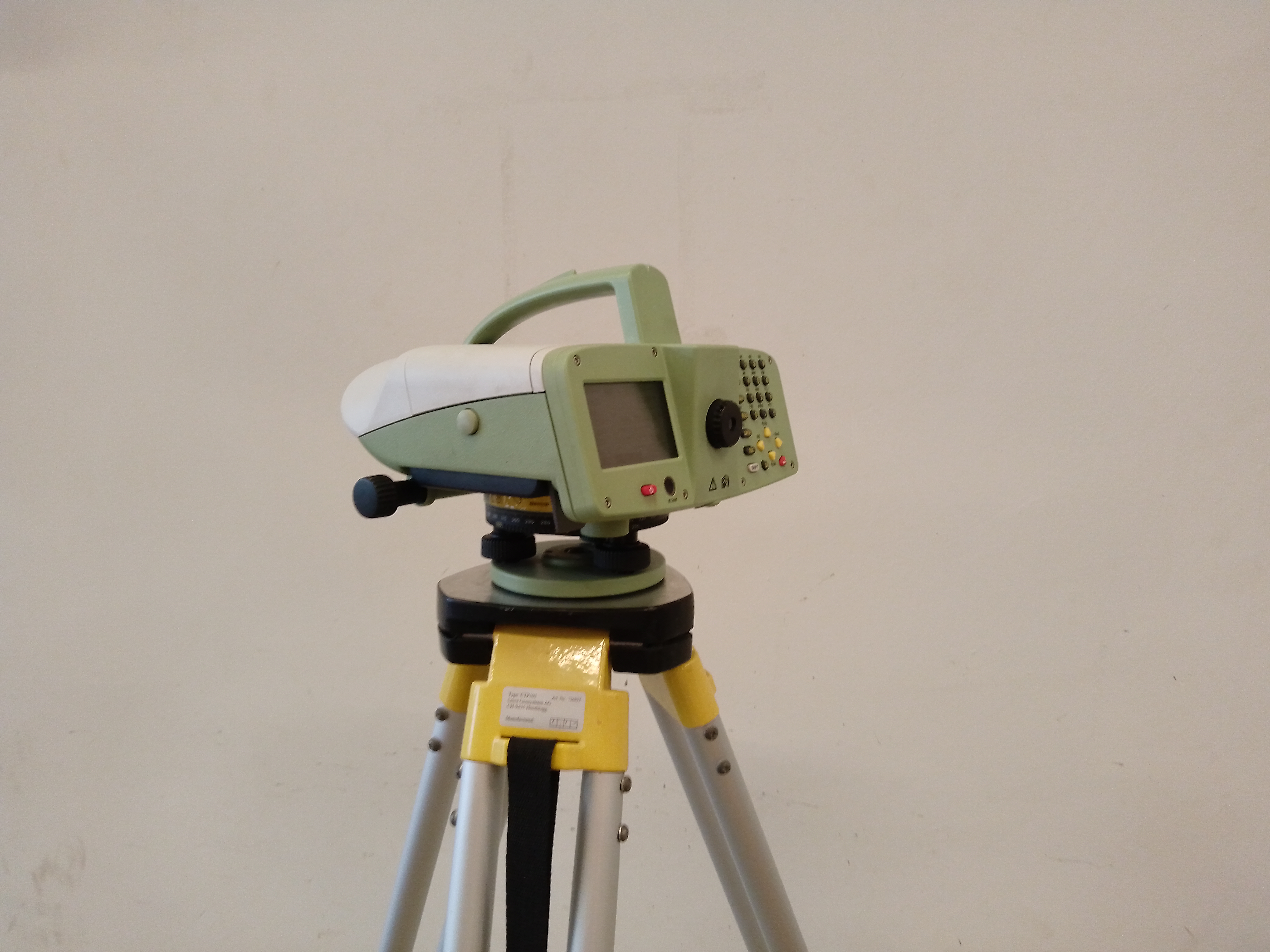
Precision Level
Description: High-precision elevation difference measurements and geodetic leveling tasks.
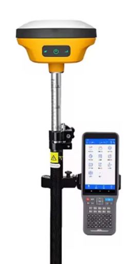
GNSS Receiver
Description: Centimeter-accuracy positioning and field data collection.
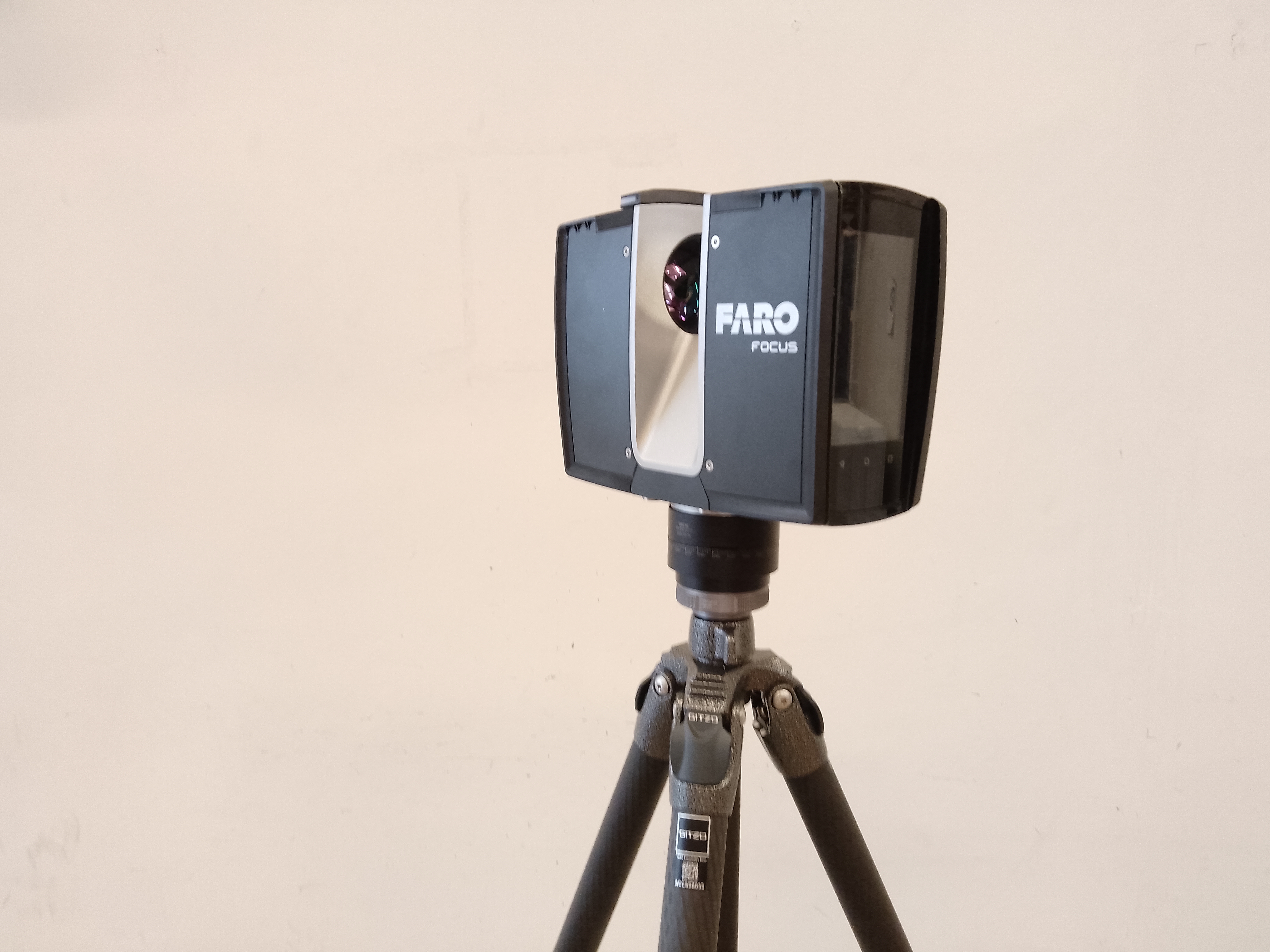
3D Laser Scanner
Description: Generation of high-precision 3D point clouds and digital modeling of spatial objects.
Total Station (Manual)
Description: Horizontal and vertical detail surveying, layout setting-out, and deformation monitoring tasks.
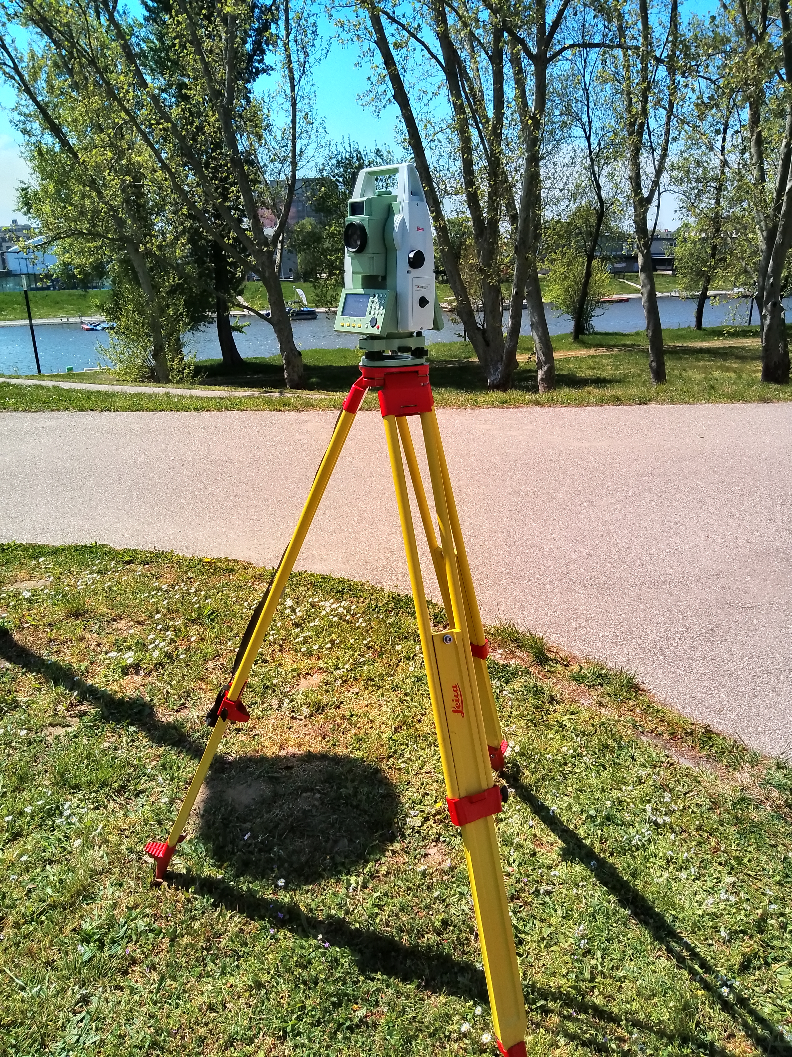
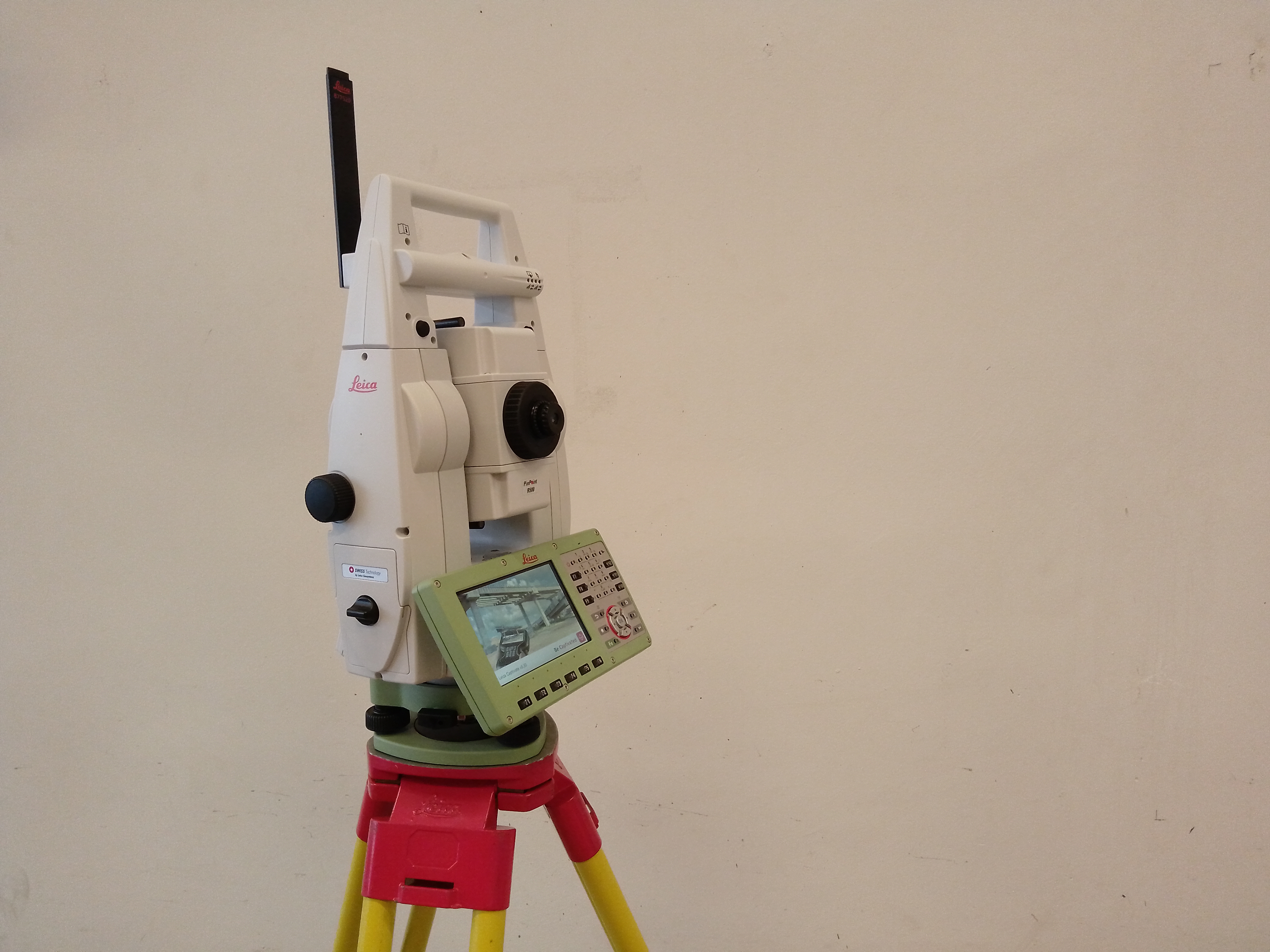
Robotic Total Station
Description: Horizontal and vertical detail surveying, layout setting-out, and deformation monitoring tasks.