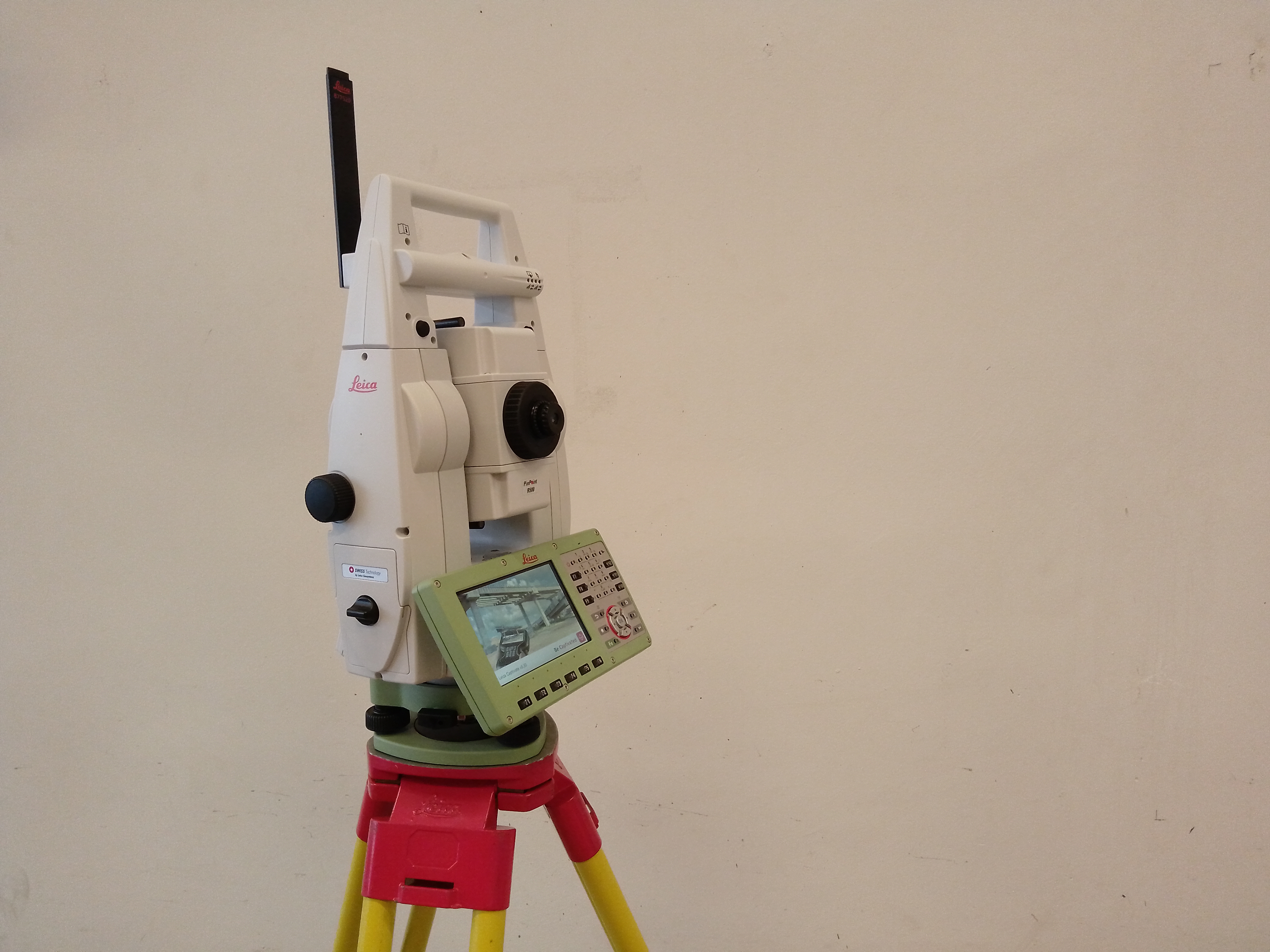
Our laboratory serves as the venue for practical sessions and projects in Geodesy and Geoinformatics, where our students gain proficiency in the use of surveying instruments and the processing of spatial data. Alongside teaching, we are involved in the collection and processing of spatial data required for departmental and faculty research, for which state-of-the-art instruments and equipment are available.
Hegyi Pál
9026 Győr, Egyetem tér 1., L4 laborépület, L4/1.
+36-96-503-400 mellék: 3119
hegyi.pal@sze.hu
Services
1. Horizontal and vertical detailed surveying
2. Production of base maps for planning purposes
3. Drawing up implementation maps
4. Carrying out the assigned tasks
5. High-precision measurement of motion, displacements and deformations
6. GNSS-based positioning and field data collection
7. 3D laser scanning, point cloud generation and processing
8. Three-dimensional digital documentation of buildings, works of art and infrastructure elements
9. Processing and analysis of geodetic and geospatial data
10. Support for spatial data collection and measurement tasks relating to research projects
Main Instruments
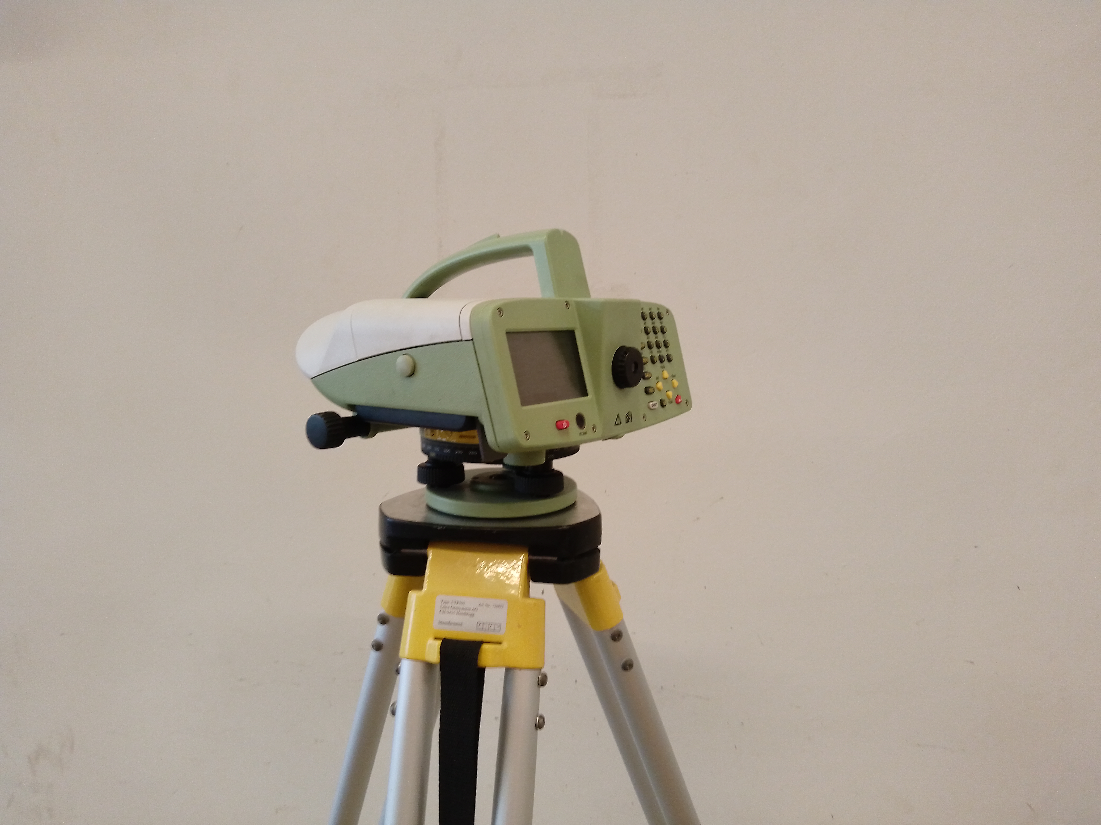
Precision Level
Description: High-precision elevation difference measurements and geodetic leveling tasks.
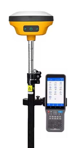
GNSS Receiver
Description: Centimeter-accuracy positioning and field data collection.
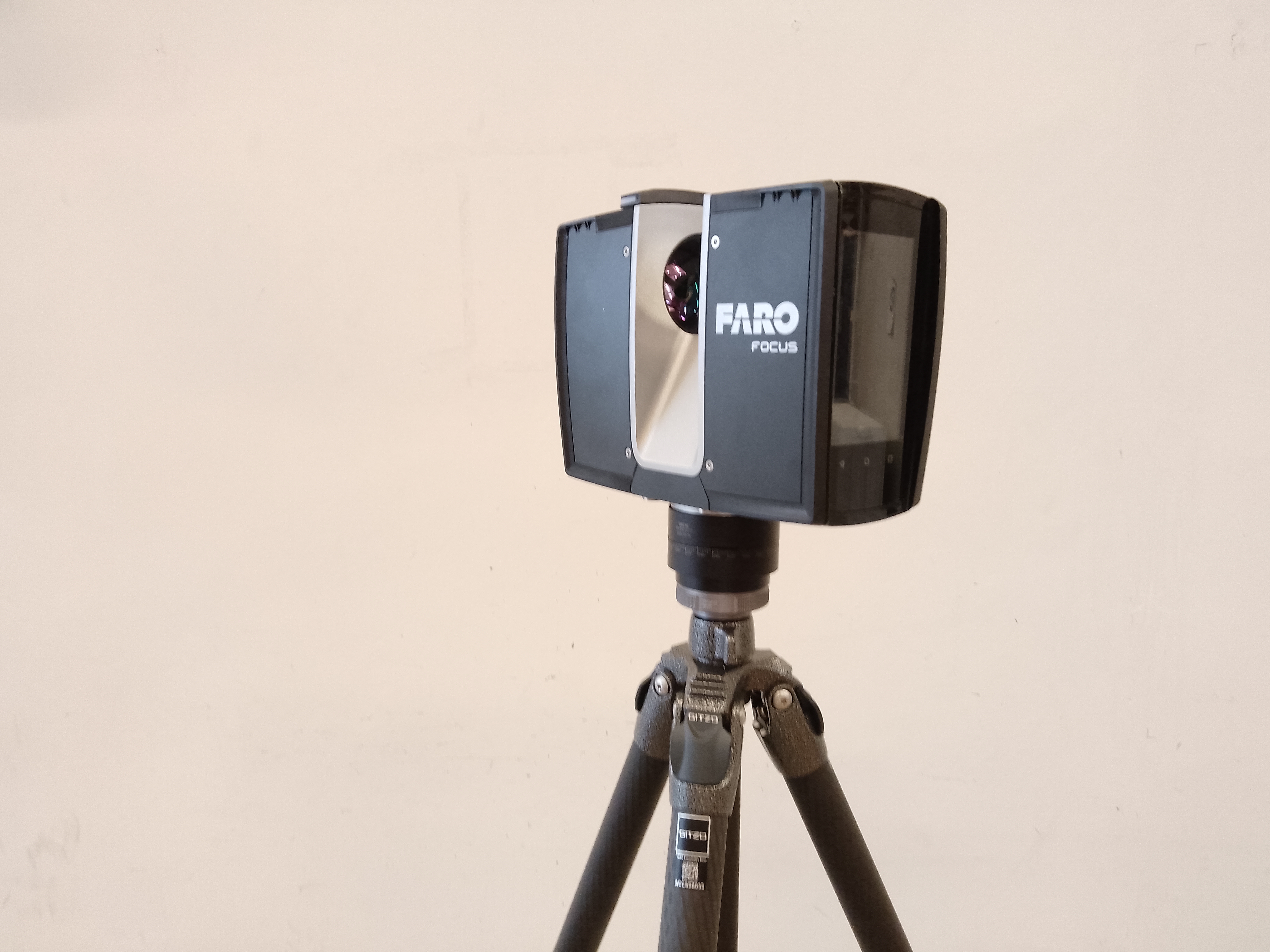
3D Laser Scanner
Description: Generation of high-precision 3D point clouds and digital modeling of spatial objects.
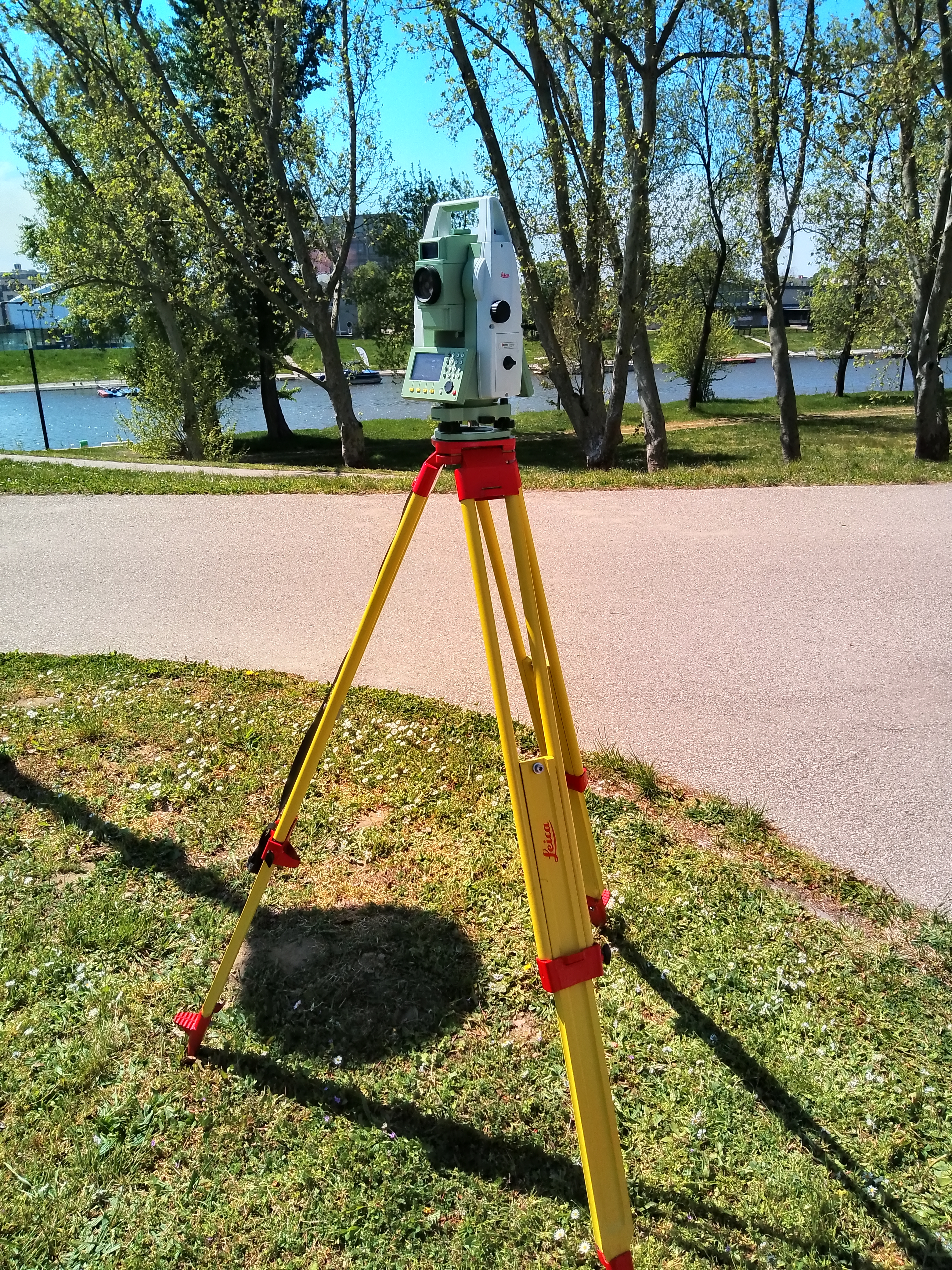
Total Station (Manual)
Description: Horizontal and vertical detail surveying, layout setting-out, and deformation monitoring tasks.
Robotic Total Station
Description: Horizontal and vertical detail surveying, layout setting-out, and deformation monitoring tasks.
We use cookies
This website uses cookies to ensure basic functionality, improve your experience, and for statistics and marketing purposes. Click “Accept all” to allow every cookie, or “Reject” to keep only the strictly necessary ones active.
Choose which cookie categories you allow. Strictly necessary cookies cannot be turned off, because the site will not work without them.
Always active
Required for the basic operation of the site: login, security, cart, forms and remembering your cookie choice. The site cannot work without them, so they cannot be disabled.
Cookie name
Provider
Duration
wordpress_logged_in_*
WordPress
Munkamenet / 14 nap
Identifies the logged-in user.
PHPSESSID
A weboldal
Munkamenet
Server side session identifier.
szesuti_consent
A weboldal (SZetemény)
6 hónap
Stores your cookie preferences so you do not have to decide on every visit.
cmplz_banner-status
A weboldal
cmplz_consented_services
A weboldal
cmplz_functional
A weboldal
cmplz_marketing
A weboldal
cmplz_policy_id
A weboldal
cmplz_preferences
A weboldal
cmplz_statistics
A weboldal
last_pys_landing_page
A weboldal
last_pysTrafficSource
A weboldal
pys_advanced_form_data
A weboldal
pys_first_visit
A weboldal
pys_landing_page
A weboldal
pys_start_session
A weboldal
pysTrafficSource
A weboldal
Enable convenience features such as remembering your language, embedded videos and maps, live chat and social content.
Cookie name
Provider
Duration
wp-settings-*
WordPress
1 év
Stores personal admin interface preferences.
comment_author_*
WordPress
1 év
Remembers the name and e-mail used for comments.
Collect anonymous, aggregated data about how you use the site so we can improve it.
Cookie name
Provider
Duration
_ga
Google Analytics
2 év
Assigns a unique anonymous ID to the visitor for statistics.
_ga_*
Google Analytics 4
2 év
Stores session state for the GA4 data stream.
_gat*
Google Analytics
1 perc
Throttles the request rate.
_gid
Google Analytics
24 óra
Daily anonymous visitor identifier.
Used to personalise ads and measure campaign performance, potentially across other websites too.
Cookie name
Provider
Duration
1P_JAR
Google
1 hónap
Ad measurement and statistics.
_gcl_au
Google Ads
90 nap
Used for ad conversion measurement.
CONSENT
Google / YouTube
2 év
Stores consent state for Google services.
IDE
Google DoubleClick
1 év
Ad personalisation and performance measurement.
NID
Google
6 hónap
Used to personalise Google services.
VISITOR_INFO1_LIVE
YouTube
6 hónap
Measures YouTube player bandwidth and settings.
VISITOR_PRIVACY_METADATA
YouTube
6 hónap
Stores the visitor's privacy (consent) state for YouTube.